
Basin countries United States Average depth 3 ft (0.91 m) Area 143 ha | Surface area 354 acres (143 ha) Max. depth 6 ft (1.8 m) Mean depth 91 cm | |
 | ||
Similar Hockomock Swamp, Lake Sabbatia, Winnecunnet Pond, Lake Rico, Norton Reservoir | ||
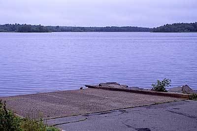
Lake Nippenicket, known locally as The Nip, is a freshwater lake in the town of Bridgewater, Massachusetts, and immediately adjacent to Raynham, Massachusetts. The lake borders a tiny portion of Route 104, and is near the junction of I-495 and Route 24. Lake Nippenicket is part of the Taunton River Watershed, emptying into the Town River and into the Taunton River, and a good-size portion of it is included with the Hockomock Swamp Wildlife Management Area.
Map of Lake Nippenicket, Bridgewater, MA 02324, USA
References
Lake Nippenicket Wikipedia(Text) CC BY-SA