
Primary inflows Catchment area 562 km (217 sq mi) Area 39.4 km² | Primary outflows Yahara River Basin countries United States Surface elevation 259 m | |
 | ||
Surface area 9,740 acres (3,940 ha) (39.4 sq. km) Fish Northern pike, Largemouth bass, Walleye, Bluegill, Smallmouth bass, White bass Similar | ||
Lake Mendota is the northernmost and largest of the four lakes in Madison, Wisconsin. The lake borders Madison on the north, east and south, Middleton on the west, Shorewood Hills on the southwest, Maple Bluff on the northeast, and Westport on the northwest.
Contents
Map of Lake Mendota, Wisconsin 53706, USA
GeographyEdit
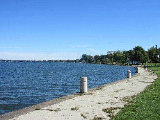
The shorelines of Lake Mendota and Monona define the isthmus upon which Madison was built, with the lakes connected by the Yahara River. Much of it is lined with expensive luxury homes and condominiums. The banks of the lake also contain protected natural areas and parks, including James Madison Park, as well as university housing, the UW Student Union and a handful of hotels and restaurants. Summers bring boaters out in force, especially on the weekends, though Lake Mendota is rarely crowded. There are several boat launching sites and two major marinas serving the lake. On a typical summer day, the lake is filled with those engaging in water sports, including fishing, water-skiing, wakeboarding, tubing, canoeing, wind-surfing, kayaking, and sailing. With an average freeze date of December 20, Lake Mendota is used in the winter by sports enthusiasts for ice-boating, ice-skating, ice fishing, cross country skiing, ice hockey and snowkiting.
The Wisconsin State Capitol building and much of the state government is located in this narrow stretch of land, as much as the University of Wisconsin–Madison campus is situated along the southern shore of Lake Mendota. In the early 20th century, Chancey Juday and Edward A. Birge founded an influential school of limnology there as a component of the university. The university's Hoofer Sailing Club operates at Memorial Union.
Lake studyEdit
Lake Mendota has been called the most studied lake in the United States, with the UW–Madison Center for limnology resting on its southern bank. The lake has a remote sensor buoy, affectionately known as David Buoy, that is part of the Global Lake Ecological Observatory Network. It has Surface Area of 3,988 ha. Maximum depth: 24.9 m. Mean depth: 12.5 m. Volume: 500M m^3. Surface elevation: 259m. Shore Length: 34.8 km. The pH of Lake Mendota: 8.3-8.4. Specific Conductance of 407.8 mS/cm. Dissolved Organic Carbon as 5.3-5.7 mg/L.
On September 11, 2009, the invasive spiny water flea (Bythotrephes longimanus) was discovered by the limnology class at the University of Wisconsin–Madison, making it the third known inland lake to harbor this species in Wisconsin.