
Surface area 1,922 acres (7.78 km) Surface elevation 225 m Catchment area 271.9 km² | Basin countries United States Max. depth 133 ft (41 m) Area 7.778 km² | |
 | ||
Primary inflows Primary outflows East Fork Russian River Similar Lake Sonoma, Grace Hudson Museum, Eel River, Ukiah Valley Medical, Low Gap Park | ||
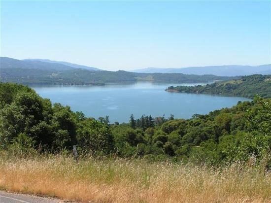
Lake Mendocino is a large reservoir in Mendocino County, California, northeast of Ukiah. It covers 1,922 acres (7.78 km2) and was formed by the construction of Coyote Valley Dam in 1958. The lake and dam provide flood control, water conservation, hydroelectric power, and recreation. The dam also includes a fallout shelter built during the Cold War era to protect against the radiation from nuclear attacks.
Contents
Map of Lake Mendocino, California 95482, USA
RecreationEdit
Lake Mendocino is administered by the U.S. Army Corps of Engineers and offers disc golf, boating, water skiing, fishing, camping, and hiking.
There are 300+ campsites plus a small number of boat-in only sites. Three groups of campsites are named in the Pomo language of the local native people.
There are two boat ramps, at the north and south ends of the lake, and use for watersports is permitted. The lake also has numerous day use and picnic areas. Several hiking trails traverse the length of the lake.
Coyote DamEdit
Coyote Dam (or Coyote Valley Dam) is an earthen dam 164 ft (50 m) high, 3,532 ft (1,077 m) long, and 20 ft (6 m) wide, with a total volume of 6,150,000 cu yd (4,700,000 m3). It was built as a flood control project by the U.S. Army Corps of Engineers. Completed in 1959, it sits across the East Fork of the Russian River, which is the primary source of inflow to the lake. The dam offers public access by foot. The purpose of the dam was to prevent flooding in the Ukiah valley, and provide a water supply for Sonoma county. During the cold war it served as a fallout shelter in the case of a nuclear attack, which remains today at the dam with a radioactive symbol. There is also an hydroelectric dam controlled by the army corps of engineers including flood supply, which provides energy for the surrounding cities.
Coyote ValleyEdit
Beneath the surface of the lake lies the old Coyote Valley. With the construction of the dam, the Army Corps had to relocate the residents of the valley, along with a short portion of State Route 20 which was subsequently inundated.