
Basin countries United States Average depth 24 ft (7.3 m) Area 7.543 km² Mean depth 7.32 m | Surface area 1,864 acres (8 km) Max. depth 88 ft (27 m) Surface elevation 223 m | |
 | ||
Location | ||
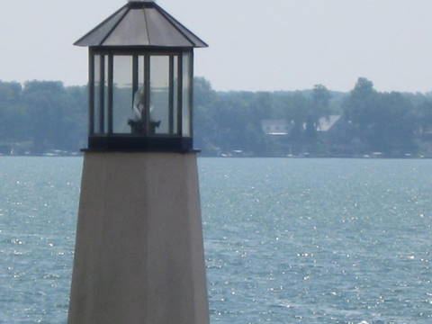
Lake Maxinkuckee is the second largest natural lake in the U.S. state of Indiana, covering 1,864 acres (8 km2). It is located near the town of Culver, Indiana, in southwestern Marshall County. Lake Maxinkuckee has a maximum depth of 88 feet (27 m) and an average depth of 24 feet (7 m). Local residents and visitors practice ice fishing on the lake.
Map of Lake Maxinkuckee, Union Township, IN 46511, USA
The first inhabitants of the lake area were Mound Builders, most likely the Potawatomi or Miami. Several mounds were built on the banks of the lake, the largest being "Pare Mound," thought to be used as a point of reference for the natives. The first white settlers arrived in 1836. Henry Harrison Culver, for whom the town is now named, founded the Culver Military Academy in 1894.
The word Maxinkuckee is derived from the Potawatomi word Mog-sin-ke-ki, which means "big stone country".