
Country United States FIPS code 39-41419 Elevation 282 m | Time zone Eastern (EST) (UTC-5) GNIS feature ID 2628918 Area code 513 | |
 | ||
Area 6.345 km² (5.698 km² Land / 65 ha Water) | ||
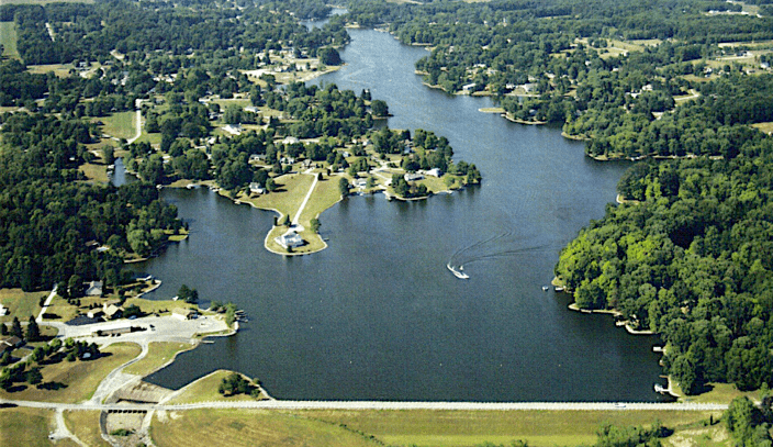
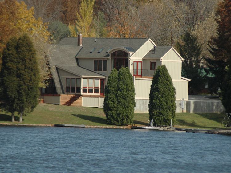
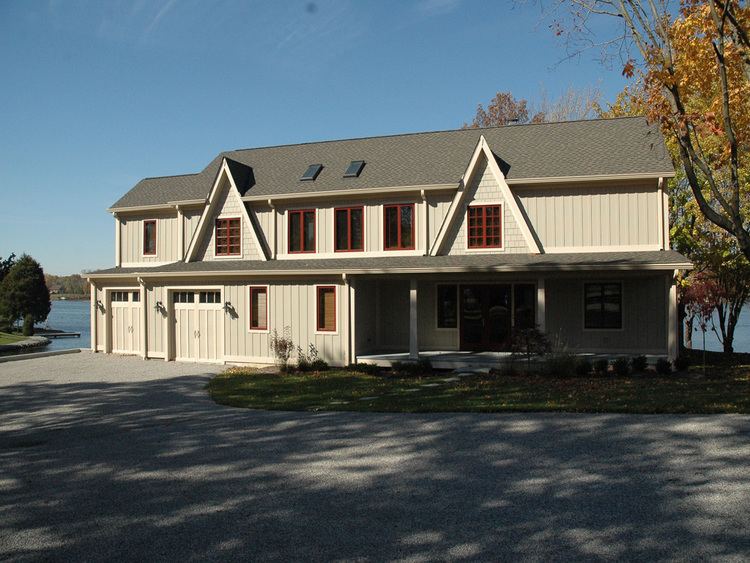
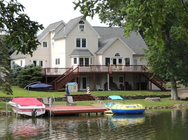
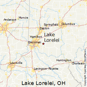
Lake Lorelei is a gated community and census-designated place in Brown County, Ohio, United States, near the village of Fayetteville. As of the 2010 census, it had a population of 1,170.
Contents
History
Lake Lorelei was started in the late 1960s by property developers as a lakeside planned community.
Geography
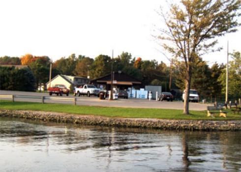
Lake Lorelei is located in northern Brown County, in the western part of Perry Township. It consists of a housing development built around Lake Lorelei, a reservoir on Glady Run, a tributary of the Little Miami River.
State Route 131 forms the southern border of the CDP, and U.S. Route 50 touches the community's southeast corner. Lake Lorelei is 3 miles (5 km) west of the village of Fayetteville and 34 miles (55 km) east of downtown Cincinnati.
References
Lake Lorelei, Ohio Wikipedia(Text) CC BY-SA