
Population 332 (2011 census) Postcode(s) 6356 Elevation 344 m Postal code 6356 | Established 1936 State electorate(s) Wagin Founded 1936 Local time Saturday 9:26 PM | |
 | ||
Location 464 km (288 mi) ESE of Perth64 km (40 mi) NW of Ravensthorpe114 km (71 mi) E of Lake Grace Weather 14°C, Wind SE at 18 km/h, 69% Humidity | ||
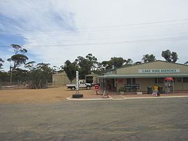
Lake King is a town in the Eastern Wheatbelt region of Western Australia, 464 kilometres (288 mi) from Perth along State Route 107 between Wagin and Ravensthorpe.
Map of Lake King WA 6356, Australia
Lake King is named after a nearby lake which in turn was named after the Surveyor General of Western Australia, Henry Sandford King, by Marshall Fox, the surveyor from Narrogin.
Settlers began arriving in the area in 1928 shortly after the area was surveyed and land was released. The town struggled through the depression but thrived in the postwar years on the back of high wool and wheat prices.
The Lake King Progress Association lobbied the government to declare a townsite in 1935 and the town was gazetted in 1936.
The surrounding areas produce wheat and other cereal crops. The town is a receival site for Cooperative Bulk Handling.