
Primary inflows Surface area 512 acres (207 ha) Max. depth 30 ft (9.1 m) Area 207 ha | Primary outflows Kapowsin Creek Average depth 20–30 ft (6.1–9.1 m) Surface elevation 178 m Cities Kapowsin | |
 | ||
Location | ||
Lake kapowsin and mount rainier
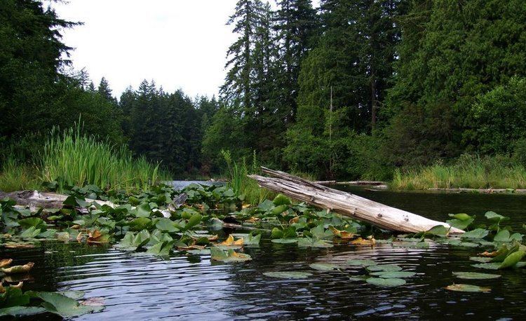
Lake Kapowsin is a lake in Pierce County, Washington, about halfway between Tacoma on Puget Sound, and Mount Rainier in the Cascade Mountains. The lake is 2.5 miles (4.0 km) long and 0.15–0.5 miles (0.24–0.80 km) wide, lying in a channel formed by meltwater from the Puget lobe of the Vashon glacier during the Pleistocene glaciation. A small unnamed island lies in the northern half of the lake. As indicated by a drowned forest in the lake and other evidence, the Puyallup River was inundated about 550 years ago by a lahar from Mount Rainier called the Electron Mudflow. The mudflow partially filled the channel (leading to its shallow, smooth bottom today) and blocked Ohop Creek's outlet, forming present-day Lake Kapowsin.
Contents
Map of Lake Kapowsin, Washington 98338, USA
The Tacoma Rail shortline runs along the west side of the lake, as does Orville Road connecting Eatonville to the south with the town of Kapowsin.
The lake contains a number of fish species and is stocked with rainbow trout, rated "excellent" for fishing by Washington Department of Fish and Wildlife, as is the yellow perch.