
Surface area 229 acres (0.93 km) Surface elevation 209 m | Area 93 ha | |
 | ||
Similar Mount Philo State Park, Chimney Point - Vermont, Lake Rescue, Button Bay State Park, Union Meetinghouse | ||
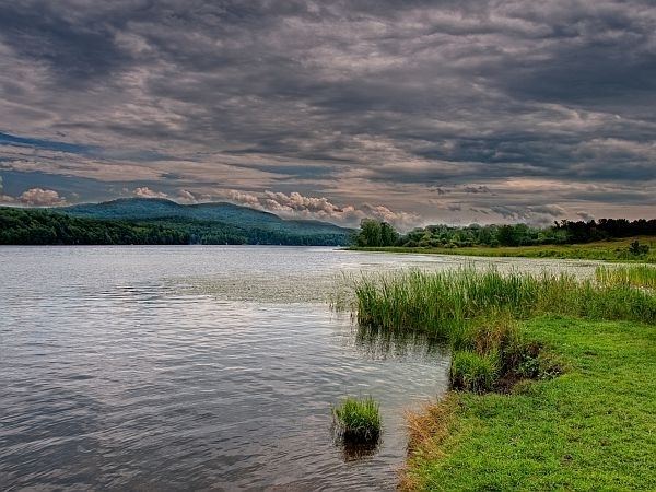
Lake Iroquois is a 229-acre (0.93 km2) reservoir in northwestern Vermont, bordered by three towns: Hinesburg, Williston, and Richmond.
Map of Lake Iroquois, Vermont, USA
Lake Iroquois (formerly known as Hinesburg pond) was created in 1867 to supply mills in Hinesburg with a better water supply. Building a dam on Pond Brook caused the existing spring-fed pond to rise above its banks and become the current lake. The towns share a beach on the lake, plus there is a public boat access.
References
Lake Iroquois (Vermont) Wikipedia(Text) CC BY-SA