
Basin countries United States Area 8.389 km² | Surface area 2,073 acres (8.39 km) Surface elevation 1,112 m | |
 | ||
Similar Hauser Dam, Spring Meadow Lake Stat, Black Sandy State Park, Holter Dam, Rocky Mountains | ||
Lake helena causeway montana
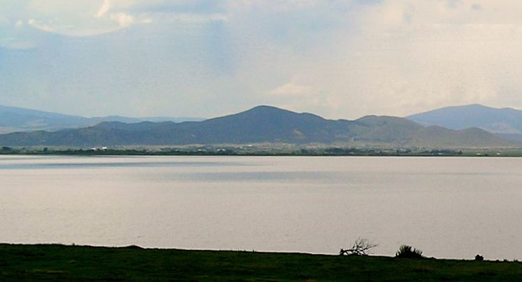
Lake Helena is a body of water along Prickly Pear Creek in the Helena Valley of Lewis and Clark County in southwestern Montana. It is 2,073 acres (8 km2) in size and is 3,647 ft (1,112 m) above sea level.
Contents
- Lake helena causeway montana
- Map of Lake Helena Helena Valley Northeast MT 59602 USA
- Lake helena causeway montana part 1
- HistoryEdit
- References
Map of Lake Helena, Helena Valley Northeast, MT 59602, USA
Lake helena causeway montana part 1
HistoryEdit
Completion of Hauser Dam on the Missouri River in 1907 created Hauser Lake. In addition, it created an arm of the lake, flooding 8 miles (13 km) of Prickly Pear Creek and surrounding wetlands to form Lake Helena.
In 1945, a causeway was built to separate the lake from the flooded canyon portion of the old Prickly Pear Creek. The causeway replaced a 1904 combination steel and wood bridge. The steel span was 120' long, and the overall length of the bridge was 520'. The concrete piers of the steel bridge, which was sold for scrap and dismantled in 1952, can still be seen just north of the causeway.
Water from Tenmile Creek, Prickly Pear Creek, Silver Creek, and the Helena Valley Irrigation Project flows into the west end of the lake. Lake Helena supported a commercial carp fishery for decades. The marshy west end of the lake is now a popular birding location.