
Max. length 1.5 mi (2.4 km) Average depth 11 ft (3.4 m) | Primary outflows Eightmile River Max. width 1 mi (1.6 km) Max. depth 37 ft (11 m) | |
 | ||
Similar Mashapaug Lake, Lake Saltonstall, Gillette Castle State Park, Lake Beseck, Devil's Hopyard State Park | ||
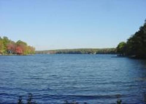
Lake Hayward is a natural spring-fed lake situated just north of Devil's Hopyard State Park in the northeastern corner of East Haddam, Connecticut and is bordered by the towns of Colchester and Salem.
Map of Lake Hayward, East Haddam, CT 06415, USA
Lake Hayward, once known as Long Pond (by the native tribes who inhabited its shores) and then Shaw Lake, is named for Nathaniel Hayward. In 1924, Charles Goodyear, of the Goodyear Tire and Rubber Company, and Nathaniel Hayward were partners in a rubber mill which operated on the lake. Mr. Hayward remained in Colchester, Connecticut when their partnership dissolved. After Nathaniel Hayward's death, Lake Hayward, as well as Hayward Avenue, were named in his honor.
Lake Hayward is approximately 1.5 miles (2.4 km) long and 0.5 miles (804 meters) wide. Its surface area is 174 acres (70.4 hectares) and it is 348 feet (106 meters) above sea level. The lake has an average depth of 11 feet (3.35 meters) and a maximum depth of 37 feet (11.2 meters).
The lake has four private beaches and does not allow motorboats with gasoline engines. The western side of the lake is overseen and monitored by the local homeowners association, the Property Owners Association of Lake Hayward (POALH). There are both year-round and summer homes in the area.