Surface area 8,310 acres (3,360 ha) Area 33.63 km² | Primary inflows Max. depth 75 ft (23 m) Surface elevation 182 m Inflow source Brazos River | |
 | ||
Similar Possum Kingdom Lake, Lake Whitney, Lake Granbury Medical, Eagle Mountain Lake, De Cordova Bend Dam | ||
Lake granbury texas
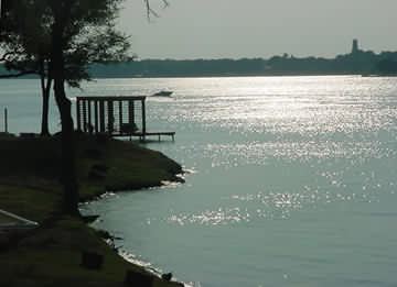
Lake Granbury is a North Texas reservoir near Granbury, Texas. It was created in 1969 and is one of three lakes damming the Brazos River.
Contents
- Lake granbury texas
- Map of Lake Granbury Texas USA
- Bass fishing lake granbury tx
- HistoryEdit
- Fish populationsEdit
- Recreational usesEdit
- Recreational areasEdit
- References
Map of Lake Granbury, Texas, USA
Lake Granbury is contained by the De Cordova Bend Dam and is a long, narrow lake, encompassed by 103 miles (221 km) of shoreline.
The lake is controlled by the Brazos River Authority in Granbury.
Bass fishing lake granbury tx
HistoryEdit
The lake was first proposed in the late 1950s. Construction began on the Cordova Bend Dam on December 15, 1966 by Zachry Construction Company. Impoundment of water began on September 15, 1969.
The proposed construction of the De Cordova Bend Dam in the mid-1950s became the impetus for John Graves' book, Goodbye to a River.
Fish populationsEdit
The lake is annually stocked with bass and in past years with catfish.
Recreational usesEdit
Recreational areasEdit
References
Lake Granbury Wikipedia(Text) CC BY-SA
