
Established 2013 Time zone ACST (UTC+9:30) County Buxton Postal code 5600 | Postcode(s) 5600 LGA(s) unincorporated area Founded 2013 | |
 | ||
Location 278 km (173 mi) north-west of Adelaide35 km (22 mi) north-east of Kimba | ||
Lake Gilles is a locality in the Australian state of South Australia located on the Eyre Peninsula about 278 kilometres (173 mi) north west of the state capital of Adelaide and about 35 kilometres (22 mi) to the north-east of the town of Kimba.
Map of Lake Gilles SA 5600, Australia
The locality was established on 26 April 2013 in respect to “the long established local name.” Its name is derived from the lake of the same name which is located within the boundaries of the locality.
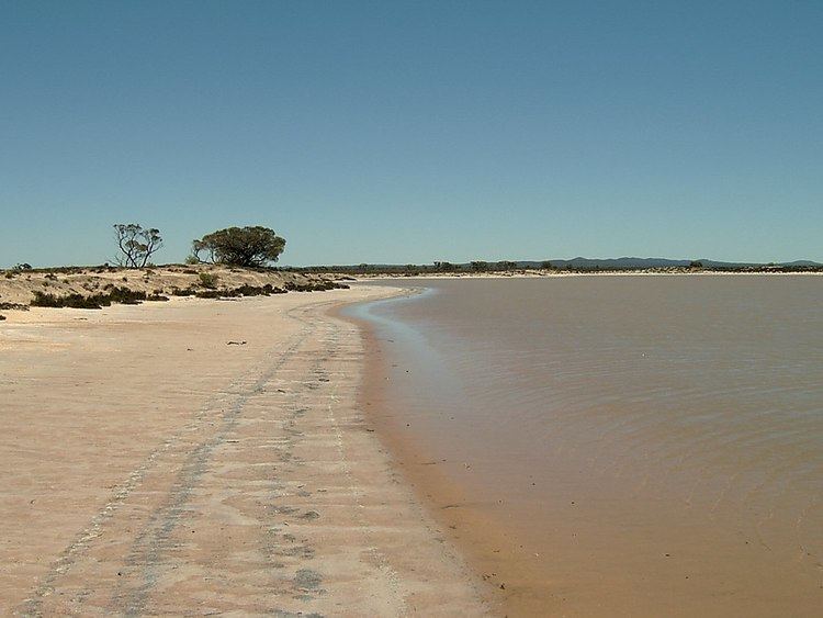
Lake Gilles consists of the water body known as Lake Gilles and a parcel of land to the lake's immediate south all of which is within the boundaries of the protected area, the Lake Gilles Conservation Park. Accordingly, the sole land use within the locality is conservation. The section of the Eyre Highway between Kimba in the west and Iron Knob in the east passes through the locality.
Lake Gilles is located within the federal Division of Grey, the state electoral district of Giles, the unincorporated area of South Australia and the state’s Far North region.