
Surface area 11 km (4.2 sq mi) Area 11 km² Mean depth 2.4 m | Average depth 2.4 m (7.9 ft) Surface elevation 187 m Catchment area 2,396 km² Inflow source Sangamon River | |
 | ||
Primary inflows Water volume 21,000 acre·ft (26,000,000 m) | ||
Lake Decatur is a 2,800-acre (11 km2) reservoir located in the city of Decatur, Illinois, east of downtown. The city and lake both share the name of U.S. Navy Commodore Stephen Decatur. The lake is 613 feet (187 m) above sea level. Lake Decatur has a watershed of 925 square miles (2,396 km² or 592,000 acres) spanning 7 counties. The largest lake on the Sangamon River, it was created in 1920–1922.
Contents
Map of Lake Decatur, Illinois, USA
HistoryEdit
The lake was constructed as a source of water for Decatur, especially the local corn refining industry. Corn refiner A.E. Staley led the campaign to persuade Decatur to borrow the $2.0 million necessary for the project. Staley was not being altruistic; corn wet-milling, which Staley's successor firm Tate & Lyle, and its local competitor Archer Daniels Midland, carry on to this day, is a water-intensive industrial process. Lake Decatur water is also used in the process of refining corn into ethanol. As of 2007, about 76 percent of Lake Decatur's water was used for commercial and industrial purposes.
As the largest artificial lake in Illinois at the time of construction, with a 30-mile (48 km) shoreline, Lake Decatur quickly became a focus of local recreation. The invention of the gasoline-powered speedboat had made sheltered reservoir waters attractive to many inland Americans.
TodayEdit
In the years since its completion in 1922, the aging Lake Decatur has suffered from extensive siltation problems. It was designed to sit atop relatively flat prairie land, and is vulnerable to deposits of silt eroded from farm fields in the 925-square-mile (2,396 km2) upper Sangamon River drainage area. From 1923 through 1983, Lake Decatur lost an estimated 35% of its designed storage volume. Although this trend has since been slowed by ongoing dredging, as of 2004 Lake Decatur was described as having an average depth of only 8 feet (2.4 m). 2008 rainfall replenished lake levels although the dredging operations have failed to stem the loss of reservoir storage capacity; city officials considered, but ultimately decided against, constructing a second reservoir for water storage purposes.
Lake Decatur borders two of Decatur's largest parks, Faries Park and Nelson Park, as well as Scovill Zoo. The Decatur Park District was founded in 1924 to take advantage of the opportunities arising from the creation of the lake.
Lake Decatur can be seen from U.S. Highway 36, which crosses the lake on a causeway bridge located on Decatur's southeast side. U.S. Route 51 also crosses the lake on the south side of the city.
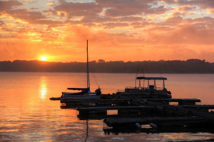
City registration is required to boat on the lake: as of April 2010, day passes can be purchased in the Lake Patrol office in Nelson Park. Lake Patrol can also provide maps to the lake, along with rules information and fishing regulations. The Lake Patrol office is only open during regular business hours Monday through Friday in off-peak months but is staffed 24/7 during peak summer months. Many people fish on the lake, catching bass, crappie, and walleye. There are 5 public boat ramps located in Nelson Park, Faries Park, at the Sportsman's Club, on Lost Bridge and Country Club Roads.
Currently, the lake has five crossings: Reas Bridge Road, William Street (Illinois 105), US 36/Illinois 121, Lost Bridge Road, and US 51/Illinois 105.