
Primary outflows Peace River Max. length 59 km (37 mi) Surface area 1,436 km (554 sq mi) Length 59 km Width 45 km Outflow location Peace River | Basin countries Canada Max. width 45 km (28 mi) Area 1,436 km² Surface elevation 213 m | |
 | ||
Primary inflows | ||
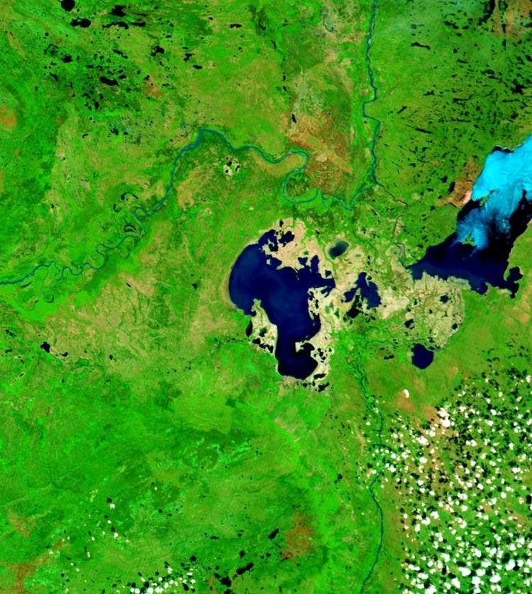
Lake Claire is the largest lake which is entirely in Alberta, Canada. It is located entirely in Wood Buffalo National Park, west of Lake Athabasca. It lies between the mouths of Peace River and Athabasca River, and is part of the Peace-Athabasca Delta system.
Map of Lake Claire, Improvement District No. 24, AB, Canada
The lake has a total area of 1,436 km2 (554 sq mi), with 21 km2 (8.1 sq mi) island area, and lies at an elevation of 213 m (699 ft). It is the largest lake located entirely within Albertan boundaries. Lake Athabasca, which straddles the border with Saskatchewan, is larger.
The lake is fed by Birch River and McIvor River, and the lake system also contains Baril Lake and Mamawi Lake. The waters are discharged in the Peace River, finding their way to the Arctic Ocean through the Slave River, Great Slave Lake and Mackenzie River.