
Primary inflows Basin countries New Zealand Residence time 7 days | Primary outflows Waikato River Surface area 9 km (3.5 sq mi) Area 9 km² Outflow location Waikato River Cities Arapuni | |
 | ||
Type hydroelectric reservoir | ||
Biscuiting en lake arapuni nueva zelanda
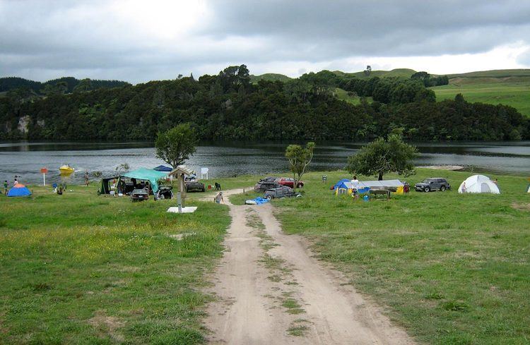
Lake Arapuni is one of several artificial lakes formed as part of a hydroelectricity scheme on the Waikato River in the North Island of New Zealand. It is 65 km (40 mi) southeast of Hamilton, to the north of Mangakino.
Contents
Map of Lake Arapuni, Waikato, New Zealand
The dam, at the small settlement of Arapuni at the lake's northern end, was the first constructed on the Waikato, and was completed in 1929. The lake occupies an area of 9 km2 (3.5 sq mi).
References
Lake Arapuni Wikipedia(Text) CC BY-SA