
Surface elevation 1,778 m Lake type Crater lake | Surface area 0.11 km (0.042 sq mi) Area 11 ha | |
 | ||
Location San Vicente Pacaya, Escuintla | ||
Laguna de calderas
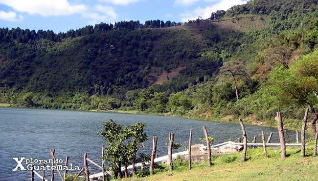
Laguna de Calderas is a crater lake in the municipality of Amatitlán, Guatemala, Guatemala. It is located approximately 6 km south of Lake Amatitlán and 3 km north of the currently active vent of the Pacaya volcano. The lake has a surface area of 11 ha and is situated at an altitude of 1778 m.
Contents
Map of Laguna de Calderas, Guatemala
References
Laguna de Calderas Wikipedia(Text) CC BY-SA