
District Saharsa District Website saharsa.bih.nic.in ISO 3166 code ISO 3166-2:IN | Time zone IST (UTC+5:30) Local time Saturday 10:15 AM | |
 | ||
Weather 22°C, Wind NE at 10 km/h, 86% Humidity | ||
Lagma is a village in the northern Indian state of Bihar representing the Rajput, Brahman, and Musahar communities.
Contents
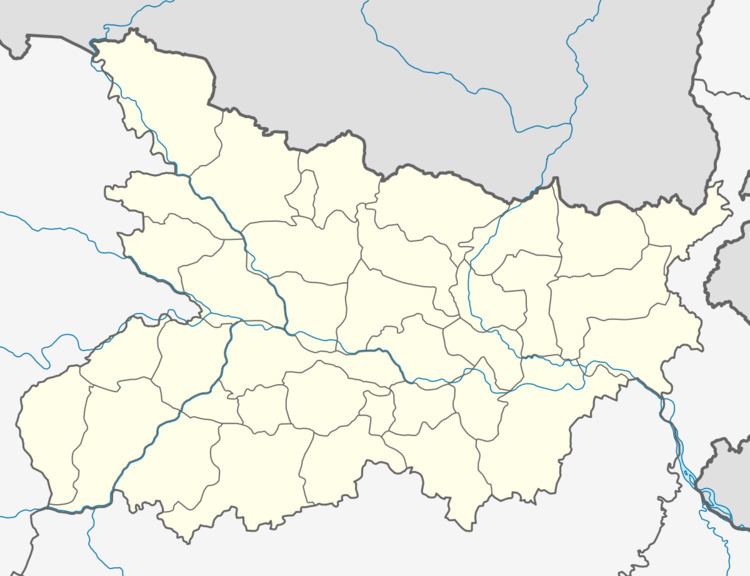
Map of Lagma, Bihar 852127
Geography
Lagma is located on the bank of the Kosi River. It is surrounded by the river on three sides. Highway NH-107 passes through the village. It is about 25 kilometers from Saharsa district and 7 Kilometers from Sonbarsa Block. There are three schools in this village, one primary school, one middle school and One high school near NH-107.
History
Brahmins Rajaput are the dominant inhabitant of this village. It was founded by their common ancestor Shri Raghav Jha.
References
Lagma Wikipedia(Text) CC BY-SA