
Country Algeria Time zone CET (UTC+01) Districts 10 Population 477,328 (2008) Municipalities 24 | Area Code +213 (0) 29 Area 25,057 km² ISO 3166 code Algeria University University of Laghouat | |
 | ||
Les juifs laghouat
Laghouat (Arabic: ولاية الأغواط) is a province (wilaya) in central Algeria. The name means "the oases". The capital is Laghouat. Other localities include Aflou, Hassi R'Mel, Ain Madhi, Kourdane and Makhareg.
Contents
Map of Laghouat Province, Algeria
Location
Located at an altitude of 750 m, the Laghouat Province is part of the Saharian Atlas Mountains chain with some peaks above 2,000 m "Djebel Amour: 2,200 m"
Administrative division
The province is divided into 10 districts (daïras), which are further divided into 24 communes or municipalities.
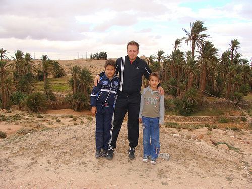
Tourism
rock carvings El Ghicha
References
Laghouat Province Wikipedia(Text) CC BY-SA