
Country Philippines Barangays ZIP code 3600 Local time Saturday 12:21 PM | District Lone District Time zone PST (UTC+8) Area 208.9 km² Province Ifugao | |
 | ||
Region Cordillera Administrative Region (CAR) Weather 27°C, Wind SE at 6 km/h, 64% Humidity Neighborhoods Cundy, Poblacion North, Poblacion East, Abinuan | ||
Lagawe (Ilocano: Ili ti Lagawe) is a fourth class municipality and capital of the province of Ifugao in the Philippines. According to the 2015 census, it has a population of 19,333 people.
Contents
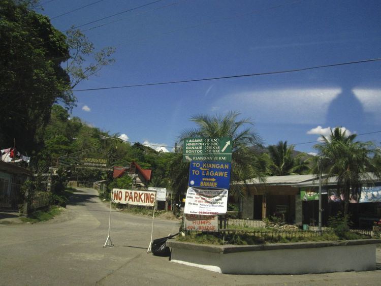
Map of Lagawe, Ifugao, Philippines
Barangays
Lagawe is politically subdivided into 20 barangays.
Demographics
In the 2015 census, the population of Lagawe, Ifugao, was 19,333 people, with a density of 93 inhabitants per square kilometre or 240 inhabitants per square mile.
References
Lagawe, Ifugao Wikipedia(Text) CC BY-SA