
Elevation 266 m Local time Friday 10:36 PM | GNIS feature ID 0453532 Area 91.4 km² Population 5,275 (2010) | |
 | ||
ZIP codes 46001, 46011, 46012, 46044 Weather -6°C, Wind N at 14 km/h, 59% Humidity | ||
Lafayette Township is one of fourteen townships in Madison County, Indiana, United States. As of the 2010 census, its population was 5,275 and it contained 2,379 housing units.
Contents
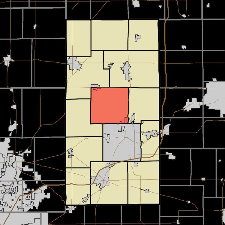
- Map of Lafayette Township IN USA
- Geography
- Cities towns villages
- Unincorporated towns
- Cemeteries
- Major highways
- Airports and landing strips
- School districts
- Political districts
- References
Map of Lafayette Township, IN, USA
Lafayette Township was organized in 1836.
Geography
According to the 2010 census, the township has a total area of 35.29 square miles (91.4 km2), all land.
Cities, towns, villages
Unincorporated towns
(This list is based on USGS data and may include former settlements.)
Cemeteries
The township contains Independent Order of Odd Fellows Cemetery.
Major highways
Airports and landing strips
School districts
Political districts
References
Lafayette Township, Madison County, Indiana Wikipedia(Text) CC BY-SA