
Country United States Time zone CST (UTC-6) Elevation 215 m Local time Friday 9:36 PM | Established November 8, 1859 ZIP codes 61920, 61938, 62440 Area 93.94 km² Population 4,822 (2010) | |
 | ||
Weather -1°C, Wind N at 19 km/h, 38% Humidity | ||
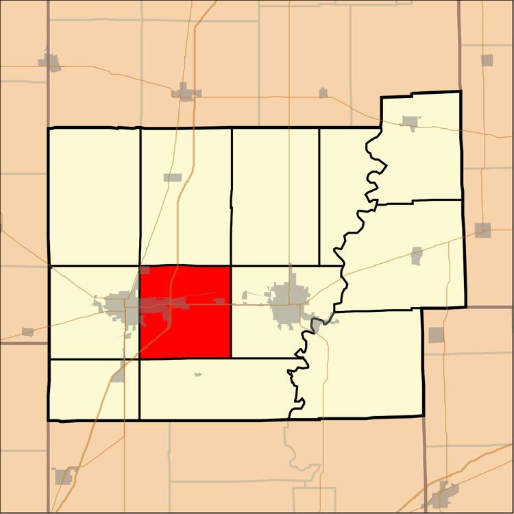
Lafayette Township is one of twelve townships in Coles County, Illinois, USA. As of the 2010 census, its population was 4,822 and it contained 2,285 housing units. The Coles County Memorial Airport is located in this township.
Contents
- Map of Lafayette Township IL USA
- Geography
- Cities towns villages
- Extinct towns
- Cemeteries
- Major highways
- Airports and landing strips
- School districts
- Political districts
- References
Map of Lafayette Township, IL, USA
Geography
According to the 2010 census, the township has a total area of 36.27 square miles (93.9 km2), of which 36.19 square miles (93.7 km2) (or 99.78%) is land and 0.08 square miles (0.21 km2) (or 0.22%) is water.
Cities, towns, villages
Extinct towns
Cemeteries
The township contains three cemeteries: Bethel, Montgomery and Rest Haven Memorial Gardens.
Major highways
Airports and landing strips
School districts
Political districts
References
Lafayette Township, Coles County, Illinois Wikipedia(Text) CC BY-SA