
Local time Friday 10:41 PM | ||
 | ||
Weather 3°C, Wind NW at 19 km/h, 41% Humidity | ||
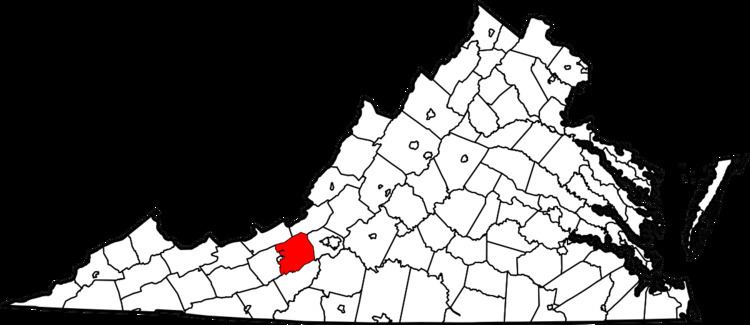
Lafayette is a census-designated place (CDP) between the cities of Roanoke and Christiansburg in eastern Montgomery County, southwest Virginia. The population as of the 2010 Census was 449. It is located adjacent to Elliston, at the confluence of the North and South Forks of the Roanoke River.
Contents
Map of Lafayette, VA 24087, USA
The Lafayette Historic District was listed on the National Register of Historic Places in 1991.
Climate
The climate in this area is characterized by hot, humid summers and generally mild to cool winters. According to the Köppen Climate Classification system, Lafayette has a humid subtropical climate, abbreviated "Cfa" on climate maps.
References
Lafayette, Virginia Wikipedia(Text) CC BY-SA