
Intercommunality Pays Dunois Area 21.28 km² Population 384 (1999) | Time zone CET (UTC+1) Local time Saturday 4:13 AM | |
 | ||
Weather 7°C, Wind SE at 8 km/h, 73% Humidity | ||
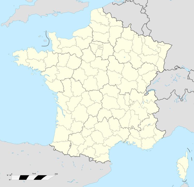
Lafat is a commune in the Creuse department in the Nouvelle-Aquitaine region in central France.
Contents
Map of 23800 Lafat, France
Geography
A farming area comprising the village and a few small hamlets situated some 18 miles (29 km) northwest of Guéret at the junction of the D49 and the D69 roads. The small rivers Sédelle and Brézentine, tributaries of the Creuse River, flow through the commune.
Sights
References
Lafat Wikipedia(Text) CC BY-SA