
Total islands 0 Elevation -15 m | Highest elevation -15 m (-49 ft) Adjacent body of water Indian Ocean | |
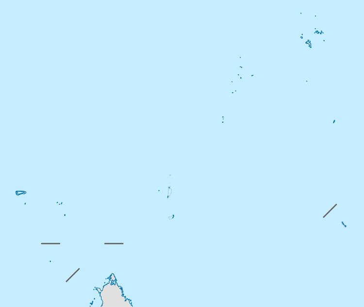 | ||
Lady Denison-Pender Shoal is a shoal in Seychelles, lying in the Outer Islands of Seychelles, with a distance of 240 km south of Victoria, Seychelles.
Contents
Map of Lady Denison-Pender
Geography
This shoal, with a least depth of 14.6 m, is located immediately north of the Amirantes Bank, but separated from it by water more than 300 m deep. It is located 10 km northwest of North Island on African Banks, the northernmost island of the Amirante Islands. It is named after the cable steamer CS Lady Denison Pender that was built in Glasgow in 1920 and was in service until 1963.
Administration
The shoal belongs to Outer Islands District, for EEZ purposes.
References
Lady Denison-Pender Shoal Wikipedia(Text) CC BY-SA