
Time zone IST (UTC+5:30) ISO 3166 code ISO 3166-2:IN | Local time Saturday 6:08 AM | |
 | ||
Weather 14°C, Wind W at 5 km/h, 47% Humidity | ||
Fierceful emd izn wdp4d with ranikhet express knocks ladpura amazing rajasthan indian railways
Ladpura is a village in Nagaur district of Rajasthan state in northwestern India, about 15 km west Pushkar and 26 km west of Ajmer. The village falls under the Riyan Bari sub division and Degana Tehsil.
Contents
- Fierceful emd izn wdp4d with ranikhet express knocks ladpura amazing rajasthan indian railways
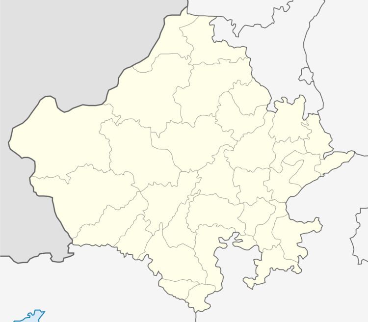
- Map of Ladpura Rajasthan 311604
- Geography
- Demographics
- References
Map of Ladpura, Rajasthan 311604
Geography
Ladpura is located at 26°30'5"N and 74°23'31"E. It has an average elevation of 382 metres.
Demographics
According to 2001 census total population of village was 2600. Males constitute 52% of the population and females 48%. Ladpura has an average literacy rate of 70%, higher than the national average of 60%: male literacy is 75%, and female literacy is 54%. In Ladpura, 15% of the population is under 6 years of age.
References
Ladpura Wikipedia(Text) CC BY-SA