Samiksha Jaiswal (Editor)

Ladapeyre

Updated on
Edit
Like
Comment
Share on FacebookTweet on TwitterShare on LinkedInShare on Reddit
Country
  
France

Department
  
Creuse

Intercommunality
  
Petite Creuse

Area
  
30.63 km²

Arrondissement
  
Guéret

Region
  
Nouvelle-Aquitaine

Canton
  
Guéret-Nord

Population (2008)
  
345

Local time
  
Saturday 12:20 AM

Ladapeyre mw2googlecommwpanoramiophotosmedium13431144jpg

Weather
  
6°C, Wind E at 8 km/h, 80% Humidity

Ladapeyre is a commune in the Creuse department in the Nouvelle-Aquitaine region in central France.

Contents

Map of 23270 Ladapeyre, France

Geography

An area of farming and forestry comprising the village and a few small hamlets situated some 20 miles (32 km) west of Guéret, at the junction of the D11, D990 and the D9 roads.
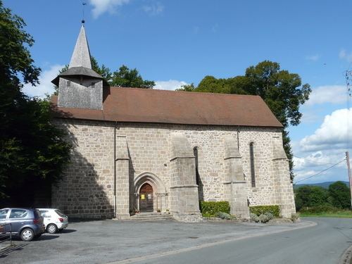
Sights

  • The church, dating from the thirteenth century.
  • The fifteenth-century castle de la Dauge.
  • The three manorhouses of Le Coudard, La Chassagne and La Côte.
  • A large lake, the Etang de Fragne.
  • A sixteenth-century stone cross.
  • An eighteenth-century public washhouse.
  • References

    Ladapeyre Wikipedia