
Country Canada RCM Mékinac Time zone EST (UTC−5) Area 223.8 km² Province Québec | Region Mauricie Constituted January 1, 1986 Highways No major routes Population 0 (2011) | |
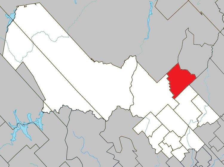 | ||
Lac-Masketsi is an unorganized territory in the Mauricie region of province of Quebec, Canada, part of the Mékinac Regional County Municipality. Most of its area is part of the Zec Tawachiche. The discharge of Masketsi Lake at the south-east flows in the Little Lake Masketsi, which empties into the Tawachiche West River.
Contents
Map of Lac-Masketsi, QC, Canada
Toponymy
It is named after Masketsi Lake that is located within its boundaries. This name first appeared on a map from 1870 by Eugène-Étienne Taché and is of Amerindian origin meaning "moccasin".
Geography
The Canadian National Railway to Abitibi runs from 1909, linking Hervey-Jonction to La Tuque. The railway was built along the eastern shore of this lake, and was servicing the hamlets of Gouin and Lac-Masketsi (47°00′06″N 72°33′33″W). Each hamlet had a railway station that has long served the lumber camps, resorts and tourist activities.
In 2004, Lac-Masketsi was reduced in size by some 90 square kilometres (35 sq mi) when portions were annexed by mostly Trois-Rives (70 km²) as well as Lac-aux-Sables (20 km²).
Economy
The economy of this unorganized territory is mainly focused on forestry, resorts and tourist activities. This area is mostly forest and has many mountainous areas.
Demographics
Population trend:
Private dwellings occupied by usual residents: 0 (total dwellings: 0)