
Country Canada RCM Abitibi Time zone EST (UTC-5) Area 740.2 km² Province Québec | Region Abitibi-Témiscamingue Constituted January 1, 1986 Postal Code J0Y 1L0 Population 203 (2011) Area code 819 | |
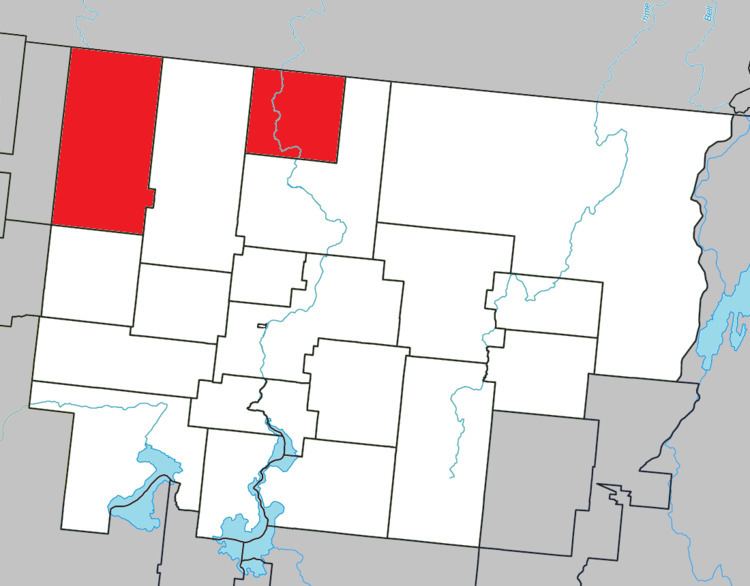 | ||
Lac-Chicobi is an unorganized territory in the Canadian province of Quebec, located within the Abitibi Regional County Municipality. The area consists of two non-contiguous portions on either side of the incorporated municipality of Berry.
Contents
Map of Lac-Chicobi, QC, Canada
The area had a population of 203 in the Canada 2011 Census, and a land area of 722.14 square kilometres.
The eponymous Lake Chicobi is roughly in the centre of the territory's western portion. It is fed by the Authier and Chicobi Rivers and drained by the Octave River, a tributary of the Harricana River. The lake's name, in the past also spelled as Chikobi, Chikobee, and Cikobi, comes from an Amerindian word meaning "where there are no islands". The Tanginan and Chicobi Hills are two prominent hills south-west of the lake, reaching an altitude of 441 metres (1,447 ft).
South of Lake Chicobi is the community of Guyenne (48°46′41″N 78°28′13″W), the territory's only population centre. It is named after the geographic township of Guyenne (proclaimed in 1916), in turn named the Guyenne Regiment that fought under General Montcalm's command.
Demographics
Population:
Private dwellings occupied by usual residents: 84 (total dwellings: 89)