
Constituted January 1, 1986 Highways Route 169 Population 0 (2011) | Time zone EST (UTC-5) Area 240.9 km² Province Québec | |
 | ||
Region | ||
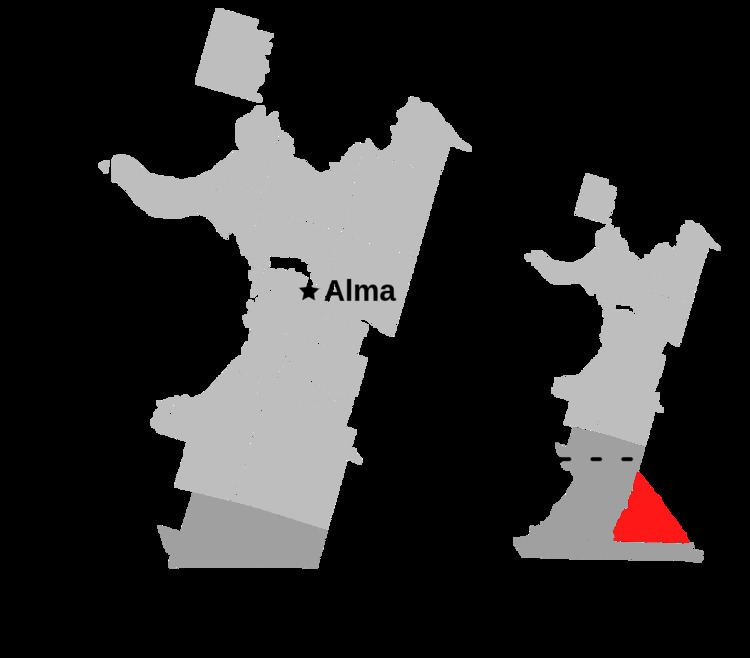
Lac-Achouakan is an unorganized territory in the Canadian province of Quebec, located in the regional county municipality of Lac-Saint-Jean-Est. It had a population of zero in the Canada 2006 Census, and covered a land area of 227.35 km2, entirely within the Laurentides Wildlife Reserve. The western boundary of the territory is Bark River (Rivière aux Écorces), while Quebec Route 169 forms the eastern boundary.
Map of Lac-Achouakan, QC, Canada
The eponymous Lake Achouakan (48°06′34″N 71°38′55″W) is near and drains into the Bark River. Its name comes from the Innu-aimun language and means "bridge lake".
References
Lac-Achouakan, Quebec Wikipedia(Text) CC BY-SA