
Admin. region Niederbayern Elevation 369 m (1,211 ft) Area 76.32 km² Local time Friday 5:19 PM Dialling code 08772 | Time zone CET/CEST (UTC+1/+2) Population 3,441 (31 Dec 2008) Postal code 84082 | |
 | ||
Weather 8°C, Wind NW at 14 km/h, 56% Humidity | ||
Laberweinting is a municipality in the district of Straubing-Bogen in Bavaria, Germany.
Contents
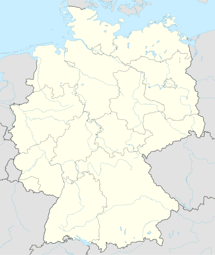
Map of Laberweinting, Germany
Geography
The Große Laaber and the Kleine Laber, the Bayerbach and the Grafentraubach flow through the Laberweinting.
Subdivisions
The municipality Laberweinting consists of 31 villages
Main sights
References
Laberweinting Wikipedia(Text) CC BY-SA