
Population 199 (?) Federal division Division of Bendigo | Postcode(s) 3463 Postal code 3463 | |
 | ||
Location 104 km (65 mi) NW of Melbourne20 km (12 mi) NE of15 km (9 mi) S of | ||
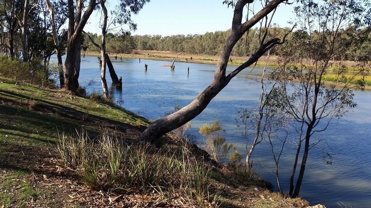
Laanecoorie is a locality situated on the Loddon River in Victoria, Australia. It has a community hall, church, and caravan park.
Map of Laanecoorie VIC 3463, Australia
Laanecoorie was originally part of the "Simpson Run" and in 1840 the "Janevale" homestead was named after Simpson's wife. Gold was discovered around Laanecoorie at Jones Creek in 1853 and later on at Poseidon in 1906. The first farm was selected by the Lyon brothers in 1857.
The first bridge over the Loddon River was built in 1870, but was destroyed in the big flood of 1909 at the same time as the Laanecoorie Weir was breached. The weir had been constructed in 1891 and was the second irrigation scheme for Victoria. The well-known engineer and World War I general, Sir John Monash, designed and built a new bridge of reinforced concrete beam and slab construction, which still remains today.