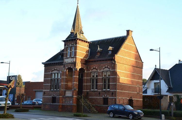
Country Belgium Area codes 014, 013, 011 Area 42.48 km² Population 14,998 (1 Jan 2007) | Postal codes 2430, 2431 Website www.laakdal.be Local time Friday 3:54 PM Province Antwerp | |
 | ||
Weather 12°C, Wind E at 6 km/h, 48% Humidity Governing party Socialistische Partij Anders | ||
Laakdal ( [ˈlaːɡdɑl]) is a municipality located in the Belgian province of Antwerp. Laakdal was founded in 1977 out of a merger of the towns Veerle, Eindhout and Vorst. The municipality now comprises the towns of Eindhout, Veerle, Vorst and Vorst-Meerlaar (also known as Klein-Vorst). On January 1, 2006, Laakdal had a total population of 14,951. The total area is 42.48 km² which gives a population density of 352 inhabitants per km².
Map of Laakdal, Belgium
The municipality has 6 neighbouring towns. Clockwise on the compass these are: Geel, Meerhout, Ham, Tessenderlo, Scherpenheuvel-Zichem and Herselt.
References
Laakdal Wikipedia(Text) CC BY-SA
