
Country Thailand Time zone THA (UTC+7) Geocode 8502 Population 12,506 (2005) | Seat La-un Tai Postal code 85130 Area 748.5 km² Province Ranong Province | |
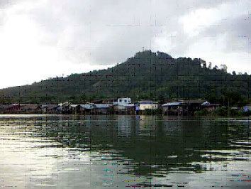 | ||
La-un (Thai: ละอุ่น) is a district (Amphoe) of Ranong Province, southern Thailand.
Contents
Map of La-un District, Ranong 85130, Thailand
History
In 1932 the minor district (King Amphoe) was established as a subordinate of Mueang Ranong district. On June 28, 1973, it was upgraded to a full district. In 1996, a new district office was built.
Geography
Neighboring districts are (from the north clockwise) Kra Buri of Ranong Province, Sawi, Lang Suan and Phato of Chumphon Province, and Mueang Ranong of Ranong again. To the west across the estuary of the Kraburi River is the Tanintharyi Division of Myanmar.
Administration
The district is subdivided into 7 subdistricts (tambon), which are further subdivided into 35 villages (muban). La-un itself is a township (thesaban tambon) and covers parts of the tambon La-un Tai and Bang Phra Tai. There are further 3 Tambon administrative organizations (TAO).