
Founded Musulmana Elevation 560 m Local time Friday 11:50 AM | Autonomous community Castile-La Mancha Judicial district Torrijos Demonym(s) Torreño, ña Area 51 km² Population 1,763 (2014) | |
 | ||
Weather 20°C, Wind E at 5 km/h, 37% Humidity | ||
Circuito de motocross la torre de esteban hambr n toledo
La Torre de Esteban Hambrán is a Spanish village and municipality in the province of Toledo in Castile-La Mancha. It is adjacent to the municipalities of Santa Cruz del Retamar, Méntrida, Casarrubios del Monte, and Las Ventas de Retamosa.
Contents
- Circuito de motocross la torre de esteban hambr n toledo
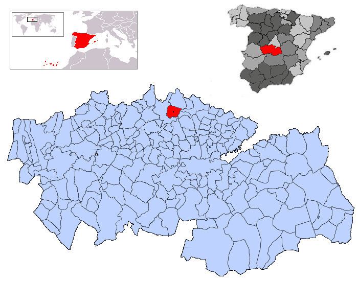
- Map of 45920 La Torre de Esteban HambrC3A1n Toledo Spain
- Origin of name
- History
- Demography
- Monuments
- References
Map of 45920 La Torre de Esteban Hambr%C3%A1n, Toledo, Spain
Origin of name
The village's name, which means "Tower of Esteban Hambrán" in English, may be derived from a 13th-century Muslim tower belonging to a Mozarab named Esteban Ambrán. The tower was used to communicate, by means of fire signals, with the distant Castle of Alamín.
History
The town was founded by the Romans in 171 BC, but little is known about the Roman era of the village. After the Reconquista, the area around the "Esteban Hambrán" tower became populated. In the early 15th century, the land belonged to Pero López de Ayala. The village was bought in 1436 by Álvaro de Luna. When some years later John II of Castile confiscated the place, the village became crown property.
Demography
The population was 1,756 in 2006.