
Country United States FIPS code 48-41660 Area 18.3 km² | Time zone Central (CST) (UTC-6) Elevation 7 m Population 618 (2010) | |
 | ||
Weather 21°C, Wind SE at 10 km/h, 100% Humidity | ||
La Tina Ranch is a census-designated place (CDP) in Cameron County, in the U.S. state of Texas. The population was 618 at the 2010 census. Prior to the 2010 census the community was part of the Arroyo Gardens-La Tina Ranch CDP. It is part of the Brownsville–Harlingen Metropolitan Statistical Area.
Geography
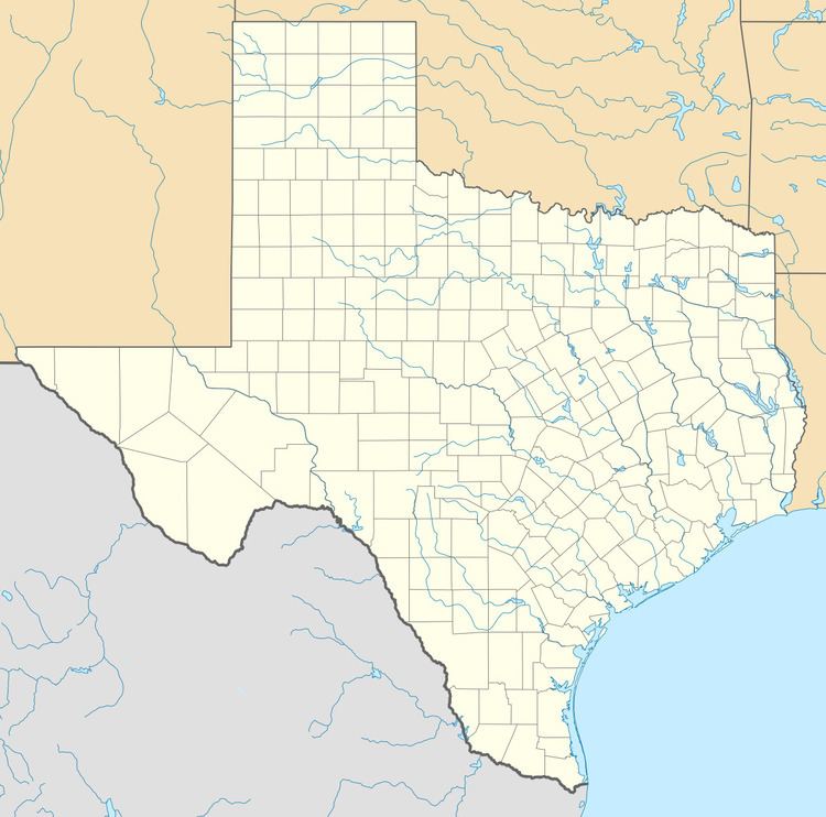
La Tina Ranch is in north-central Cameron County, 16 miles (26 km) east of Harlingen and 25 miles (40 km) north of Brownsville. It is bordered on the west by Arroyo Gardens.
According to the United States Census Bureau, the CDP has a total area of 7.1 square miles (18.3 km2), of which 7.0 square miles (18.2 km2) is land and 0.04 square miles (0.1 km2), or 0.69%, is water.
References
La Tina Ranch, Texas Wikipedia(Text) CC BY-SA