
Time zone UTC -3 Dial plan +598 436 (+5 digits) Population 1,443 (2011) | Postal code 97004 Founded 12 December 1884 Local time Friday 4:26 AM | |
 | ||
Weather 17°C, Wind S at 11 km/h, 90% Humidity | ||
La Paloma is a village in the Durazno Department of central Uruguay.
Contents
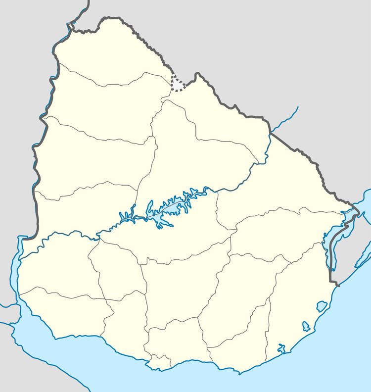
Map of La Paloma, Durazno Department, Uruguay
Location
The village is located 16 kilometres (9.9 mi) into a secondary road that splits off Route 6 in a westward direction at about 78 kilometres (48 mi) north of Sarandí del Yí. A train station of the railroad track from Sarandí del Yí to the north end of the department is 3 kilometres (1.9 mi) east of the village.
History
Its status was elevated to "Pueblo" (village) on 3 May 1984 by the Act of Ley Nº 15.542.
Population
In 2011, it had a population of 1,443.
Source: Instituto Nacional de Estadística de Uruguay
Places of worship
References
La Paloma, Durazno Wikipedia(Text) CC BY-SA