
Area code(s) +53-82 Area 621 km² Population 35,426 (2004) | Time zone EST (UTC-5) Elevation 50 m Local time Friday 2:24 AM | |
 | ||
Weather 19°C, Wind NE at 10 km/h, 82% Humidity | ||
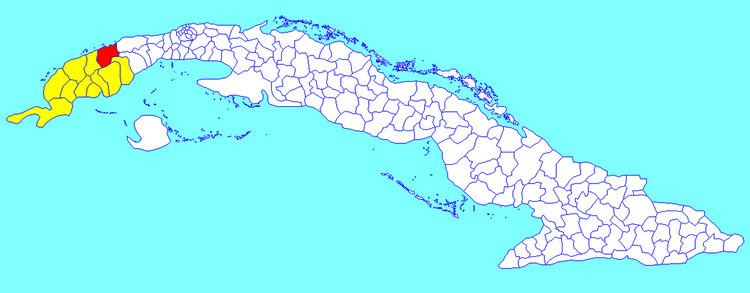
La Palma is a municipality and town in the Pinar del Río Province of Cuba. It is located in the northern part of the province, on the coast of the Straits of Florida, north of Consolación del Sur and north-east of Viñales.
Contents
Map of La Palma, Cuba
Overview
The Viñales Valley World Heritage Site is located east of La Palma, while the Sierra del Rosario Biosphere Reserve extends to the east. Cayo Levisa, a popular tourist attraction, is a cay of the Colorados Archipelago, located 2 kilometres (1.2 mi) north of the municipality's northern coast.
La Palma Municipal Museum is located in the Martí street.
Demographics
In 2004, the municipality of La Palma had a population of 35,426. With a total area of 621 km2 (240 sq mi), it has a population density of 57.0/km2 (148/sq mi).
References
La Palma, Cuba Wikipedia(Text) CC BY-SA