
Traversed by SH 17 Elevation 3,118 m | Topo map USGS Cumbres | |
 | ||
Location Conejos County, Colorado, U.S. | ||
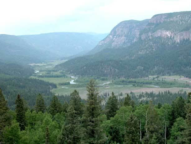
La Manga Pass, elevation 10,230 ft (3,120 m), is a mountain pass in the San Juan Mountains of Colorado. The pass is situated in Rio Grande National Forest.
Map of La Manga Pass, Colorado 81120, USA
The pass, along with Cumbres Pass to the southwest, is traversed by State Highway 17. It is the only highway pass west out of the San Luis Valley between Wolf Creek Pass to the north and New Mexico. The pass is a watershed break between the Conejos River to the north, a tributary of the Rio Grande, and the Rio de los Pinos (Los Pinos River) to the south, which flows through Toltec Gorge and eventually joins the Conejos River via the Rio San Antonio.
References
La Manga Pass Wikipedia(Text) CC BY-SA