
CPA Base B 1636 Founded 1856 Population 15,844 (2001) | Elevation 18 m (59 ft) Area code(s) +54 11 Local time Friday 2:44 AM | |
 | ||
Weather 18°C, Wind S at 5 km/h, 56% Humidity | ||
Viajes nostalgicos la lucila san isidro buenos aires
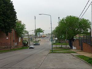
La Lucila is a residential neighborhood of the Vicente López Partido in the northern suburbs of Greater Buenos Aires, Argentina. It is considered to be an upmarket area of mostly family homes. It is located between the larger neighborhoods of Olivos, also in Vicente López, and Martínez, in San Isidro Partido.
Contents
- Viajes nostalgicos la lucila san isidro buenos aires
- Map of La Lucila Buenos Aires Province Argentina
- Education
- References
Map of La Lucila, Buenos Aires Province, Argentina
It lies in between Avenida Maipú and the shore of the Río de la Plata (River Plate) from west to east and the streets Roma and Paraná (limit to the San Isidro Partido) from south to north.
It has a light railway station (La Lucila) on the Retiro-Tigre line - north on the line is Martínez and south is Olivos. It is also close to the Tren de la Costa.
References
La Lucila Wikipedia(Text) CC BY-SA