
Time zone CST (UTC-6) Elevation 207 m Local time Thursday 10:40 PM | Established November 6, 1849 ZIP codes 61420, 61450, 62330 Area 96.63 km² Population 1,473 (2010) | |
 | ||
Weather 2°C, Wind N at 18 km/h, 62% Humidity | ||
La Harpe Township is one of twenty-five townships in Hancock County, Illinois, USA. As of the 2010 census, its population was 1,473 and it contained 714 housing units.
Contents
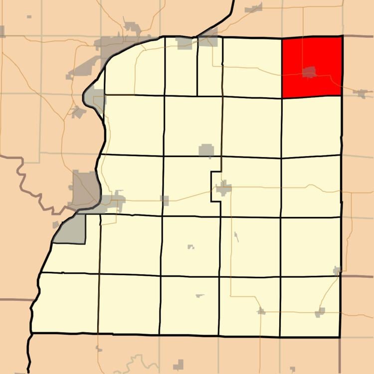
- Map of La Harpe Township IL USA
- Geography
- Cities towns villages
- Unincorporated towns
- Cemeteries
- Major highways
- Airports and landing strips
- Landmarks
- School districts
- Political districts
- References
Map of La Harpe Township, IL, USA
La Harpe Township was named for Jean-Baptiste Bénard de la Harpe, a French explorer.
Geography
According to the 2010 census, the township has a total area of 37.31 square miles (96.6 km2), all land.
Cities, towns, villages
Unincorporated towns
(This list is based on USGS data and may include former settlements.)
Cemeteries
The township contains LaHarpe City Cemetery.
Major highways
Airports and landing strips
Landmarks
School districts
LaHarpe Community School District 347, grades K-8, & Illini West High School District 307
Political districts
References
La Harpe Township, Hancock County, Illinois Wikipedia(Text) CC BY-SA