
Country Canada Time zone MST (UTC-7) Elevation 735 m | Area 82 ha Population 181 (2011) Local time Thursday 9:07 PM | |
 | ||
Weather -19°C, Wind NE at 16 km/h, 62% Humidity | ||
Teaser stephane rousseau brise la glace officiel
La Glace is a hamlet in northern Alberta, Canada within the County of Grande Prairie No. 1. It is located along Highway 59 between Sexsmith and Valhalla Centre and has an elevation of 735 metres (2,411 ft).
Contents
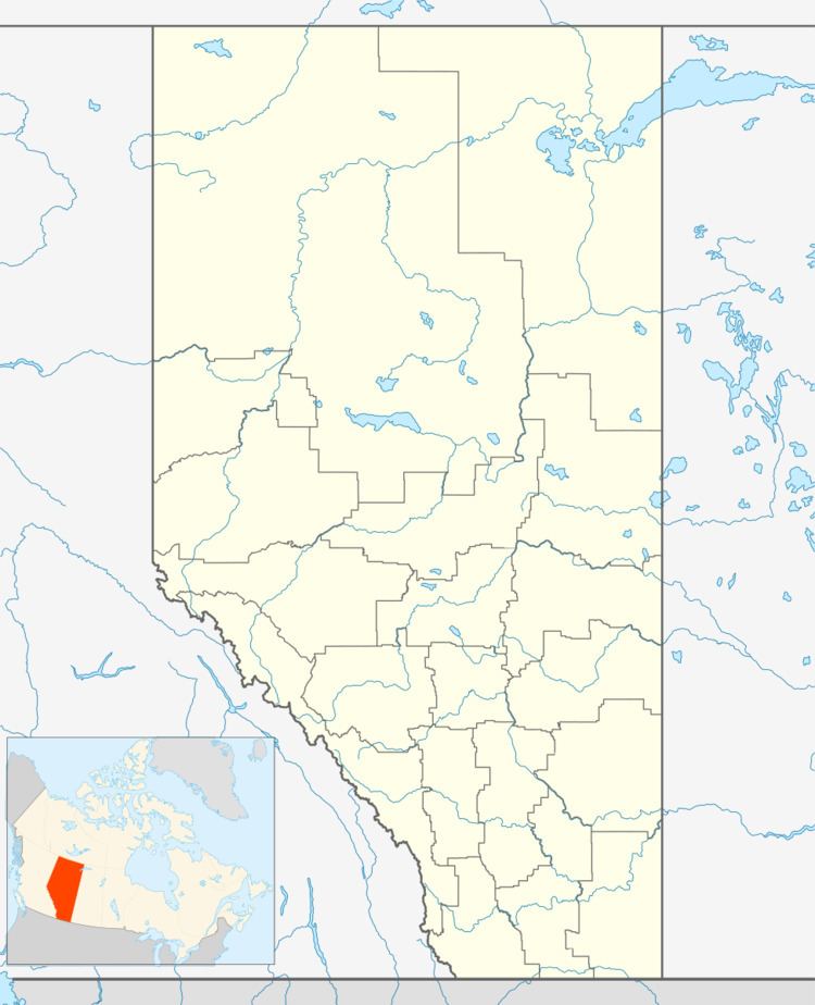
Map of La Glace, AB, Canada
The hamlet is located in census division No. 19 and in the federal riding of Peace River.
Demographics
As a designated place in the 2016 Census of Population conducted by Statistics Canada, La Glace recorded a population of 211 living in 78 of its 90 total private dwellings, a change of 7001166000000000000♠16.6% from its 2011 population of 181. With a land area of 0.81 km2 (0.31 sq mi), it had a population density of 260.5/km2 (674.7/sq mi) in 2016.
As a designated place in the 2011 Census, La Glace had a population of 181 living in 73 of its 77 total dwellings, a -11.7% change from its 2006 population of 205. With a land area of 0.82 km2 (0.32 sq mi), it had a population density of 220.7/km2 (572/sq mi) in 2011.
The population of La Glace according to the County of Grande Prairie No. 1's 2006 municipal census is 222.