
Time zone CET (UTC+1) Local time Friday 4:32 AM | Region Normandy Area 5.05 km² Population 56 (1999) | |
 | ||
Weather 9°C, Wind E at 6 km/h, 96% Humidity | ||
La Folletière is a former commune in the Seine-Maritime department in the Normandy region in northern France. On 1 January 2016, it was merged into the new commune of Saint-Martin-de-l'If.
Contents
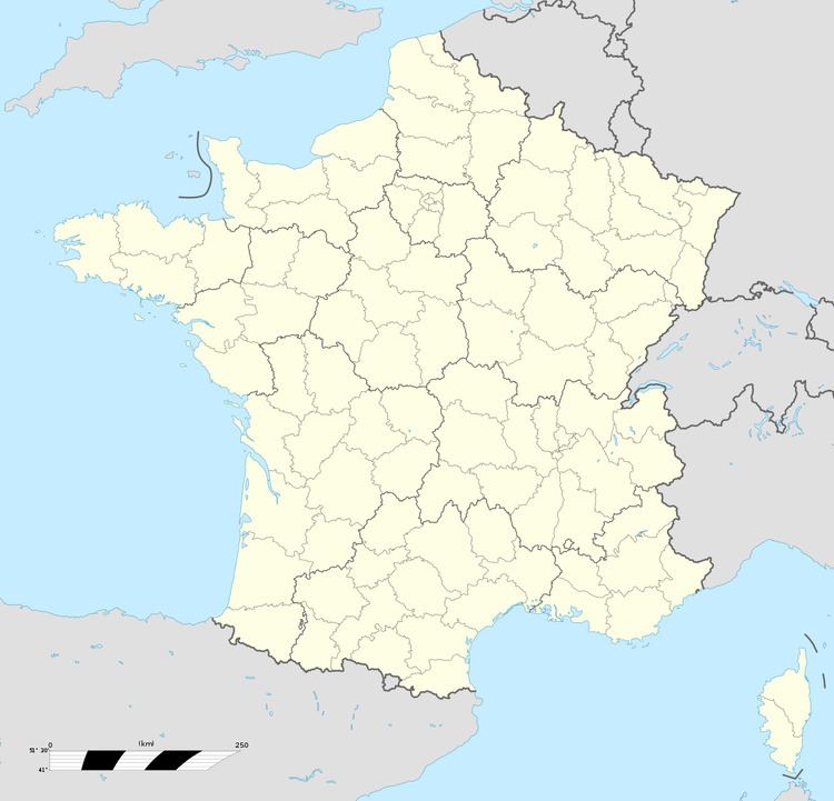
Map of 76190 La Folleti%C3%A8re, France
Geography
A very small forestry and farming village situated by the banks of the river Cesne in the Pays de Caux, some 20 miles (32 km) northwest of Rouen, at the junction of the D89 and the D289 roads.
Places of interest
References
La Folletière Wikipedia(Text) CC BY-SA