
Total islands 15 Archipelago Seychelles | Group Inner Islands Area 41.6 km² Adjacent body of water Indian Ocean | |
 | ||
Major islands La DigueSilhouetteFregateNorth | ||
La Digue and Inner Islands is one of the 26 districts of Seychelles. It consists of the island of La Digue and assorted smaller islands of the Inner Islands.
Contents
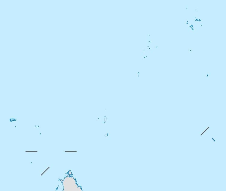
Map of La Digue and Inner Islands, Seychelles
Geography
La Digue and Inner Islands district has an area of 41.6 square kilometres (16.1 sq mi) and a population of 3506 as of 2012. The population density is 83.8 inhabitants / km². It is located in the Inner Islands. Most of the islands of the district belong to the Granitic Seychelles.
Administration
The district was created in 1994 when the government united former La Digue District and Silhouette District. It is managed by a district administrator, which is seated in the main village of La Passe. The district has the ISO Code of "SC-15". Since 1994 the district has a "Local Government" which is a unit from the Ministry of Local Government, Youth and Sports. The unit's role is to promote the availability of public services at the local level. The district's motto is: "Avancons lentement mais surement" (Advance slowly but surely).