
Time zone UTC -3 Dial plan +598 4476 (+4 digits) | Postal code 27201 Climate Cfa | |
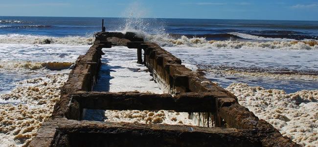 | ||
La Coronilla is a village in the Rocha Department of southeastern Uruguay.
Contents
Map of 27201 La Coronilla, Rocha Department, Uruguay
Location
The village is located on the Atlantic coast on Route 9, about 23 kilometres (14 mi) south of Chuy and the border with Brazil. Across Route 9, as a western extension of the village is the hamlet Capacho and as a northern extension the neighbourhood Barrio Pereira. Together they form a populated centre of 1,153 inhabitants, according to the 2011 census.
History
On 13 November 1951, the populated nucleus previously named "Las Maravillas" was renamed and its status was elevated to "Pueblo" (village) by the Act of Ley Nº 11.763.
Population
In 2011 La Coronilla had a population of 510.
Source: Instituto Nacional de Estadística de Uruguay
According to the 2011 census, Capacho had a population of 457 and Barrio Pereira of 186.