
Canton Sancergues Area 17.14 km² Population 494 (1999) | Time zone CET (UTC+1) Local time Friday 2:11 AM | |
 | ||
Weather 11°C, Wind SW at 3 km/h, 89% Humidity | ||
La Chapelle-Montlinard is a commune in the Cher department in the Centre region of France.
Contents
Map of 18140 La Chapelle-Montlinard, France
Geography
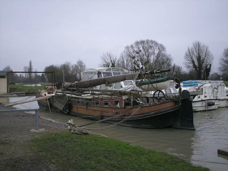
A farming area, comprising the village and a couple of hamlets situated in the Loire valley, some 29 miles (47 km) east of Bourges, at the junction of the N151 with the D7, D53 and the D45 roads. The Loire lateral canal flows through the village, which lies on the pilgrimage route known as St. James' Way.
Sights
References
La Chapelle-Montlinard Wikipedia(Text) CC BY-SA