
Area 8.68 km² | Intercommunality Pays Dunois Local time Friday 2:05 AM | |
 | ||
Weather 9°C, Wind E at 3 km/h, 83% Humidity | ||
La Chapelle-Baloue is a commune in the Creuse department in the Nouvelle-Aquitaine region in central France.
Contents
Map of 23160 La Chapelle-Baloue, France
Geography
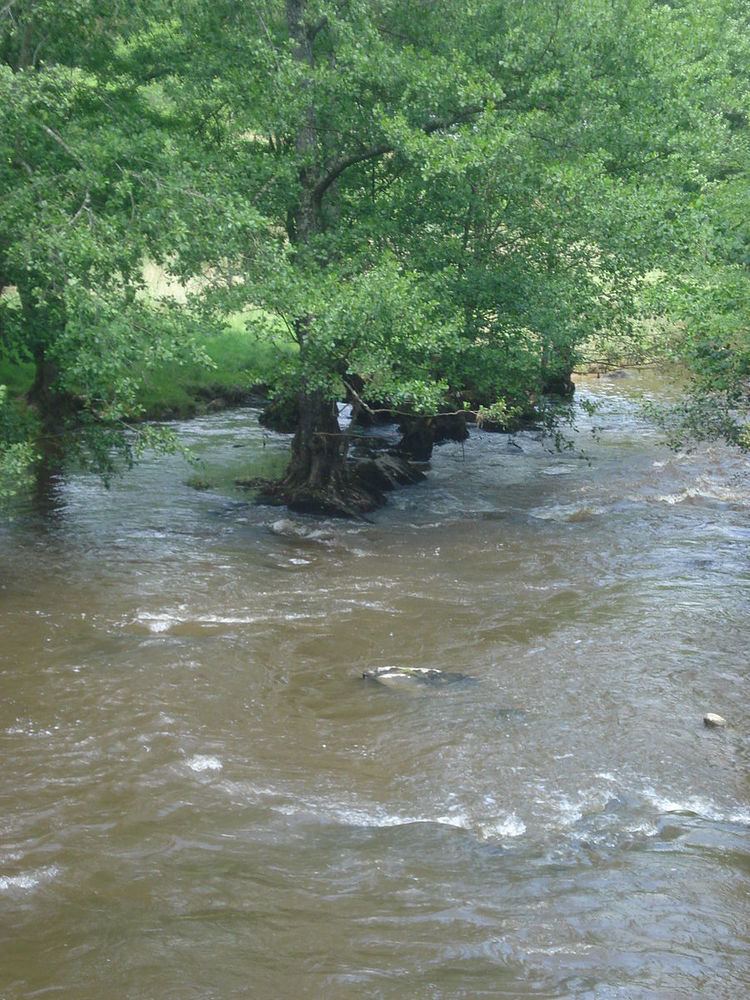
A farming area comprising the village and a few small hamlets situated at the junction of the rivers Sédelle and Brézentine, some 19 miles (31 km) northwest of Guéret at the junction of the D69 and the D72 roads. The commune lies on the pilgrimage route known as St James's Way.
Sights
References
La Chapelle-Baloue Wikipedia(Text) CC BY-SA