
Canton Lignières Area 30.94 km² | Population (2008) 203 Local time Friday 1:54 AM | |
 | ||
Weather 11°C, Wind W at 6 km/h, 85% Humidity | ||
La Celle-Condé is a commune in the Cher department in the Centre region of France.
Contents
Map of 18160 La Celle-Cond%C3%A9, France
Geography
A farming area comprising the village and several hamlets situated in the valley of the river Arnon, some 24 miles (39 km) southwest of Bourges at the junction of the D219, D192 and the D69 roads.
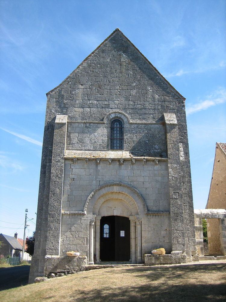
Sights
References
La Celle-Condé Wikipedia(Text) CC BY-SA