
Founded 13 November 1793 Area 57.26 km² Population 2,550 (2015) | Elevation 1,600 m (5,200 ft) Local time Thursday 7:40 PM | |
 | ||
Founded by Juan de la Cruz Aguirre Time zone Colombia Standard Time (UTC-5) Weather 18°C, Wind NW at 5 km/h, 77% Humidity | ||
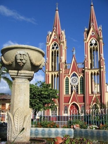
La Capilla is a town and municipality in the Eastern Boyacá Province, part of the Colombian department of Boyacá. The urban centre is situated at an altitude of 1,600 metres (5,200 ft) in the Tenza Valley.
Contents
Map of La Capilla, Boyac%C3%A1, Colombia
Borders
Etymology
La Capilla was originally called La Capilla de Tenza, after the Our Lady of La Candelaria appeared to have appeared in the outskirts of the village.
History
The first inhabitants of the region of La Capilla were the Muisca, who were organised in their loose Muisca Confederation. The people of the area of La Capilla were loyal to the caciques of Garagoa, Sutatenza and Somondoco in the Tenza Valley. Conquistador Gonzalo Jiménez de Quesada and his troops passed through this valley in 1537, on their way to the domains of the zaque of Hunza. Modern La Capilla was founded on November 13, 1793 by Juan de la Cruz Aguirre.
Economy
Main economical activity of La Capilla is agriculture, with cucumbers, tomatoes and beans cultivated.