Local time Friday 1:40 AM | Area 6.5 km² | |
 | ||
Intercommunality Communauté d'agglomération du Boulonnais Weather 6°C, Wind E at 11 km/h, 86% Humidity | ||
La Capelle-lès-Boulogne is a commune in the Pas-de-Calais department in the Hauts-de-France region of France.
Contents
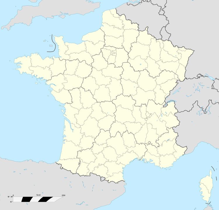
Map of La Capelle-l%C3%A8s-Boulogne, France
Geography
A forestry and farming village situated some 4 miles (6.4 km) east of Boulogne, at the junction of the N42 with the D234 and D237.
Main sights
References
La Capelle-lès-Boulogne Wikipedia(Text) CC BY-SA
