
Founded 16 December 1772 Area 317 km² Local time Thursday 7:32 PM | Elevation 2,718 m (8,917 ft) Population 27,527 (2015) | |
 | ||
Founded by Pedro de Tovar y Buendía Weather 6°C, Wind S at 16 km/h, 85% Humidity | ||
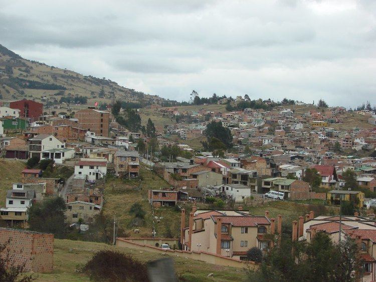
La Calera is a municipality and town of Colombia in the Guavio Province, part of the department of Cundinamarca. La Calera is a common weekend destination, mainly for the many restaurants, as it is approximately 18 kilometres (11 mi) over land from Bogotá, the capital city of Colombia. La Calera is located in the Eastern Ranges of the Colombian Andes, east of the capital and overlooking part of it. La Calera borders Guasca, Sopó and Chía in the north, Guasca in the east, Bogotá in the west and Choachí and Bogotá in the south.
Contents
Map of La Calera, Cundinamarca, Colombia
Etymology
The name of the town is derived from the limestone mine, called calera.
History
The area of La Calera was before the Spanish conquest inhabited by the Muisca. La Calera, just behind the mountains bordering Bacatá was ruled by the zipa based in the southern capital.
Modern La Calera was founded on December 16, 1772 by Pedro de Tovar y Buendía.
Economy
Main economical activity in La Calera is cement mining. The geological formation outcropping in the municipality is the Guaduas Formation.